Build the surrounding context into the brief
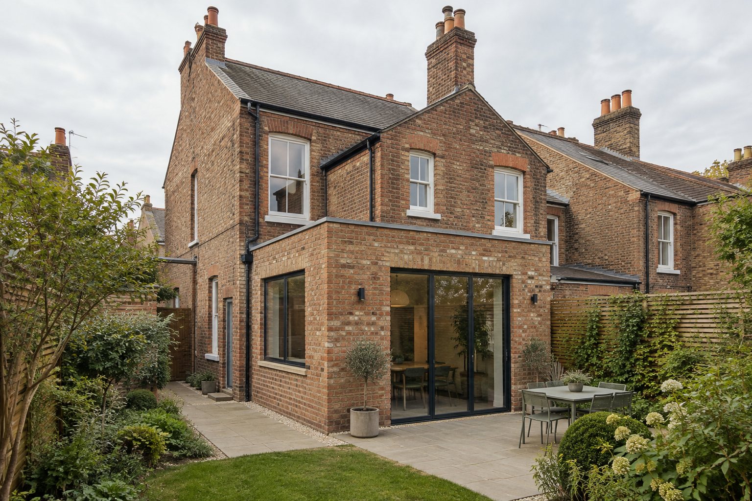
Identify the viewpoints that explain the actual planning issue. A front elevation alone may not show how a side extension meets the street corner, while a garden view may be needed to discuss a rear addition and its relationship to neighbouring houses.
Photographs should show the site clearly and, where relevant, the adjoining rooflines, boundary treatments and changes in level. In a Leeds conservation area, consult the appraisal before choosing which architectural features deserve closer explanation.
Keep the comparison honest
Use consistent viewpoints for existing and proposed views. Avoid distorting perspective to make an addition appear smaller. Existing trees and proposed landscaping should be distinguished, and realistic maintenance and establishment should be considered.
Illustrate the proposed materials with enough accuracy to support a design discussion. A dark façade under dramatic lighting can obscure brickwork, window proportions or roof edges. A clear daylight view is often more useful for planning than a promotional dusk image.
Coordinate the output
Check every rendered opening, roof form and boundary against the agreed drawing revision. Keep a list of assumptions where the design is not fixed. If a final material choice changes, assess whether the submitted images or application plans need updating.
An ordinary street-scene image remains illustrative. If a sensitive proposal requires a verified view, agree that technical scope at the start rather than relabelling an artistic image later.
Your questions, answered
Can you use a photograph of the actual street?
A photographic context can be appropriate where rights, viewpoint information and the intended use are clear. Any technical verification requires an agreed method.
Do I need an image for every application?
No. Visualisations should respond to the issues and the proportionate information required for the application.
Sources & further reading
Primary guidance and evidence checked 21 October 2026. Recheck live sources before acting.
Make this specific to your property. General guidance cannot establish a site’s lawful use, boundaries or the outcome of an application. Bring your address, plans and any council correspondence to the next conversation.
Start your enquiry ↗